A read-aloud can take the class a long way without anyone needing to find a missing shoe. Give those book journeys a place on your wall with a simple classroom reading map.
This ongoing activity connects a story’s setting with a real location when the book provides one. Add a single label after a suitable read-aloud, then let the display grow slowly.
Make the map together
The World Map Collaborative Poster from Use The Village includes 25 numbered poster pages and one reference image. Printed on US Letter paper, the finished display measures 55 × 42.5 inches. Its country outlines leave room for labels.
Check your wall space, read the assembly directions, and organize the numbered pages before coloring. Children can share pages or work across several short sessions. Assemble the poster before beginning your book labels, and keep a current atlas or globe nearby for checking locations.
Find the setting in the story
After a read-aloud with a clearly named real setting, ask, “Where does this story happen? What in the book tells us?” Return to the relevant words or author’s note together.
Use the atlas to locate the place, then help children find the corresponding area on the classroom map. Start with a few locations rather than asking young learners to label every country. For a small country or a crowded area, place the book label beside the map and connect it with a short line.
Keep imaginary places in the conversation
Some stories happen in imaginary places, and others never name a country. Create a nearby pocket labeled “Settings we cannot place yet.” Add those book titles there instead of guessing a location.
You can still describe a forest, a city, or a home using clues from the story. If the author later gives a more specific location, return to the map. Children get to see how readers revise an idea when they learn more.
Add a tiny book label
On a small note, write the title and the place named in the book. Invite children to dictate one detail about the setting. Keep the discussion tied to that particular story; one character’s experience cannot describe everyone who lives in a country.
Revisit two labels at the end of the week and ask children what they remember. For a separate geography lesson about physical features, try this first-grade landform map activity. Your reading map can stay on the wall all year, ready for the next book journey.
A resource for this activity
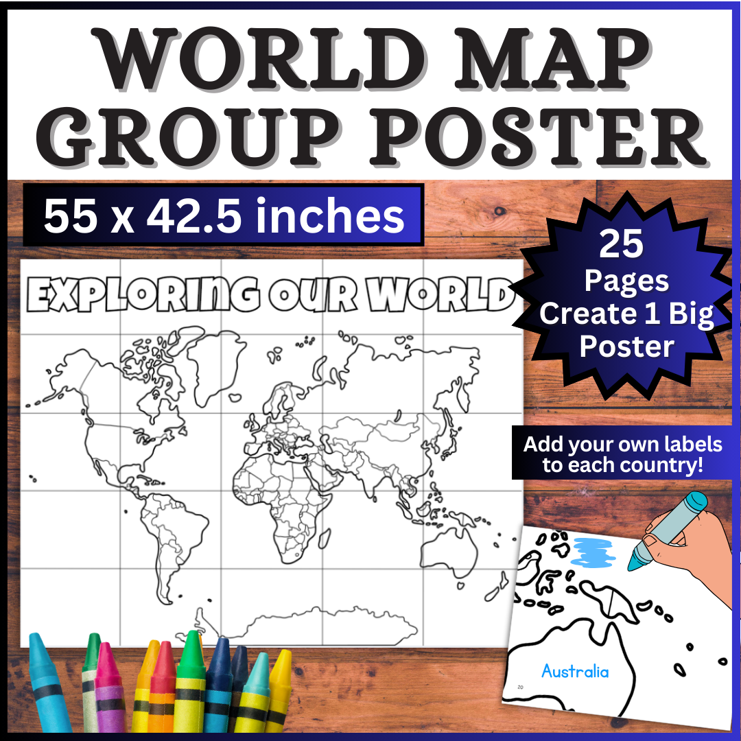
World Map Collaborative Poster
Assemble the 25 poster pages, then add your own book labels as the class reads.