Give a first grader a blank map and an island may quickly acquire a castle, three bridges, and a snack shop. Honestly, the snack shop is good planning.
An imaginary map gives all that enthusiasm somewhere to go. With just a few landform words and a sheet of paper, children can draw a place, label its features, and explain it to a partner.
Start with three words
Try island, mountain, and river. Explain that an island is land surrounded by water, a mountain rises high above the land around it, and a river is flowing water in a natural channel. A river is a body of water, so introduce the lesson as landforms and water features.
Sketch simple examples together. Trace all the way around the island with a finger: is there water on every side? Add arrows to your river to show water moving along its path.
Set out a small picture reference
I like the labeled-picture option in these 26 Nature and Landforms Coloring Pages. The set includes rivers, mountains, and islands, along with other nature and weather vocabulary. Pull out only the pictures that match today’s words. Rain and wind can wait for a weather conversation.
Display those few pages as references while children make their own maps. Coloring every reference page is optional. The useful work today is naming a feature and showing what makes it that feature.
Model a map before the decorations begin
On plain paper, draw a water area with an island inside it. Add a separate stretch of land with a mountain and a river leading toward the water. Label each feature while saying its name aloud.
Invite children to make their own version with the same three features. Keep a short word bank visible. They can copy labels, dictate them to an adult, or point and name the features. A few blue crayons and ordinary pencils will do the job.
Once the land and water make sense, open the imaginary construction office. A house? Certainly. A bridge? Show which two places it connects. Keep the island surrounded by water even if a bridge crosses over it.
Let partners be map guides
Give pairs two prompts:
- “Show me your island. How can you tell it is an island?”
- “Where does the river go on your map?”
Listen for explanations, then offer a gentle revision if needed. “Let’s check this side of your island” gives a child something concrete to fix.
Finish with a quick gallery walk or a spoken map tour. For children who need less drawing, provide a simple outline and let them add one feature at a time. For more practice with location words, try this sea turtle positional-word activity another day.
A resource for this activity
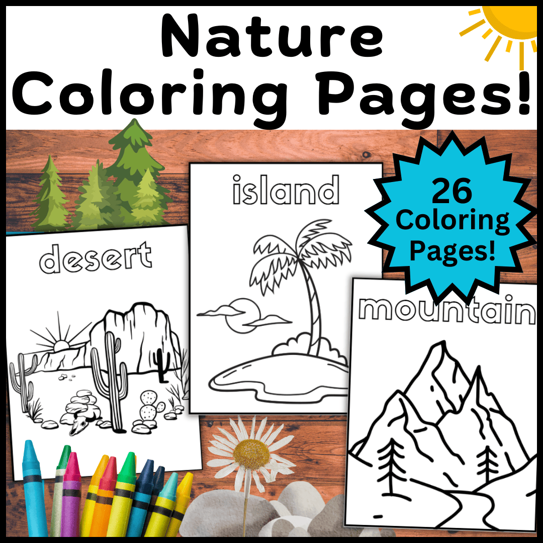
26 Nature and Landforms Coloring Pages | English Vocabulary
Use a few labeled nature pages as vocabulary references while children draw and explain their own maps.